

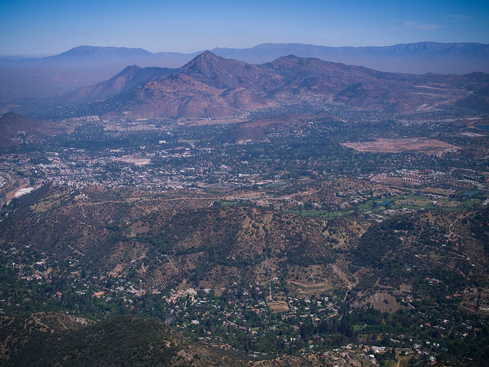
Explore the nearby Andes with hikes that fit your time and experience.
Santiago is more than a layover
Almost every trip to Chilean Patagonia starts the same way: a long-haul flight into Santiago, a night in a hotel, and an early connection south. Most travelers treat the capital as a transit stop. If you love walking in wild places, that is a missed opportunity.
Santiago sits at the foot of the Andes. Fifteen minutes from your hotel, a trail climbs straight out of the city. Within two hours, you can be walking beneath hanging glaciers, through high Andean valleys or up to a 4,000 m summit.
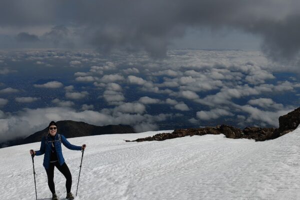
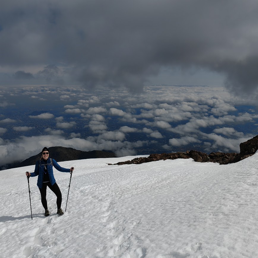
Snow on the Andes, right above the city.
One or two days in Santiago before Patagonia add a landscape the south does not have, without adding a single flight. Every route we run is private, with pickup and drop-off at your Santiago hotel.
Why Santiago is worth a stop for hikers
Central Chile looks nothing like Patagonia. The south is wind, granite and southern beech forest. Around Santiago, the mountains are higher, the air is drier and the skies stay clear for most of the hiking season.
- Higher mountains. The Andes here rise well above 5,000 m, with glacier-carved valleys and hanging ice within a day’s reach of the city.
- Colors you won’t see in the south. Mountain walls in shades of purple, red and ochre, with condors riding the thermals overhead.
- A rare ecosystem. Central Chile is one of only five Mediterranean-climate regions on Earth. Its foothills are covered in shrubs and trees that grow nowhere else in the world.
The Andes around Santiago
Santiago fills a valley between two mountain ranges: the Andes to the east and the lower coastal range to the west. On the eastern edge, the last streets climb straight into the foothills, where the city gives way to native scrubland of quillay, peumo, litre and boldo. All travel times below are measured from Costanera Center, the tallest building in Santiago and the heart of its hotel district.

On the city's edge — 15 to 30 min
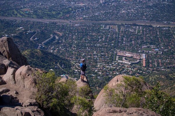
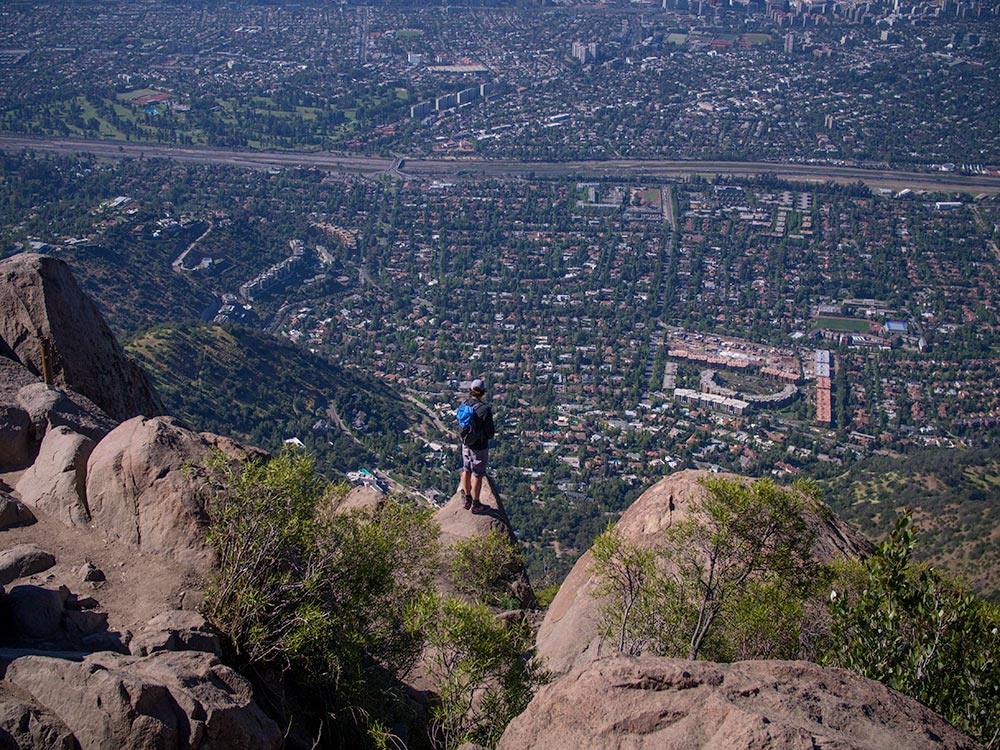
1Cerro Manquehue (half day) — 15 min. Santiago's own mountain rises straight from the eastern neighborhoods. A steep climb through native scrubland leads to a summit with the whole city at your feet, the Andes to the east and the coastal range to the west. Short on time? This is the one.
2Cerro Provincia (1 day) — 30 min. A long climb up the front range of the Andes to a 2,750 m summit. The view takes in the entire valley, from the city's grid to the snow-capped peaks behind it.
The road to Farellones — 45 min to 1 h
A winding mountain road climbs from the city's edge to the high valleys and ski areas.
3La Paloma (2 days) — 45 min. An overnight trek in the Yerba Loca Nature Sanctuary to the foot of La Paloma hanging glacier. Pack horses carry the gear, so you walk light.
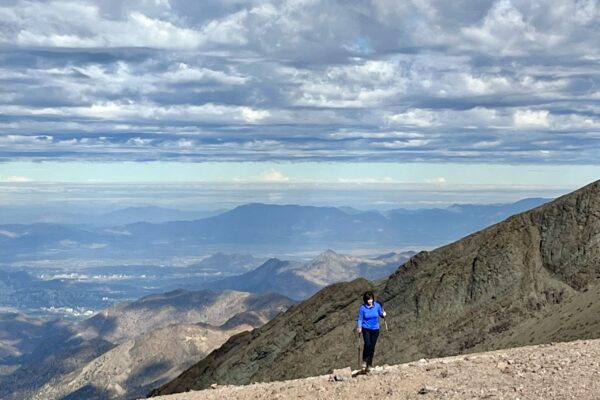
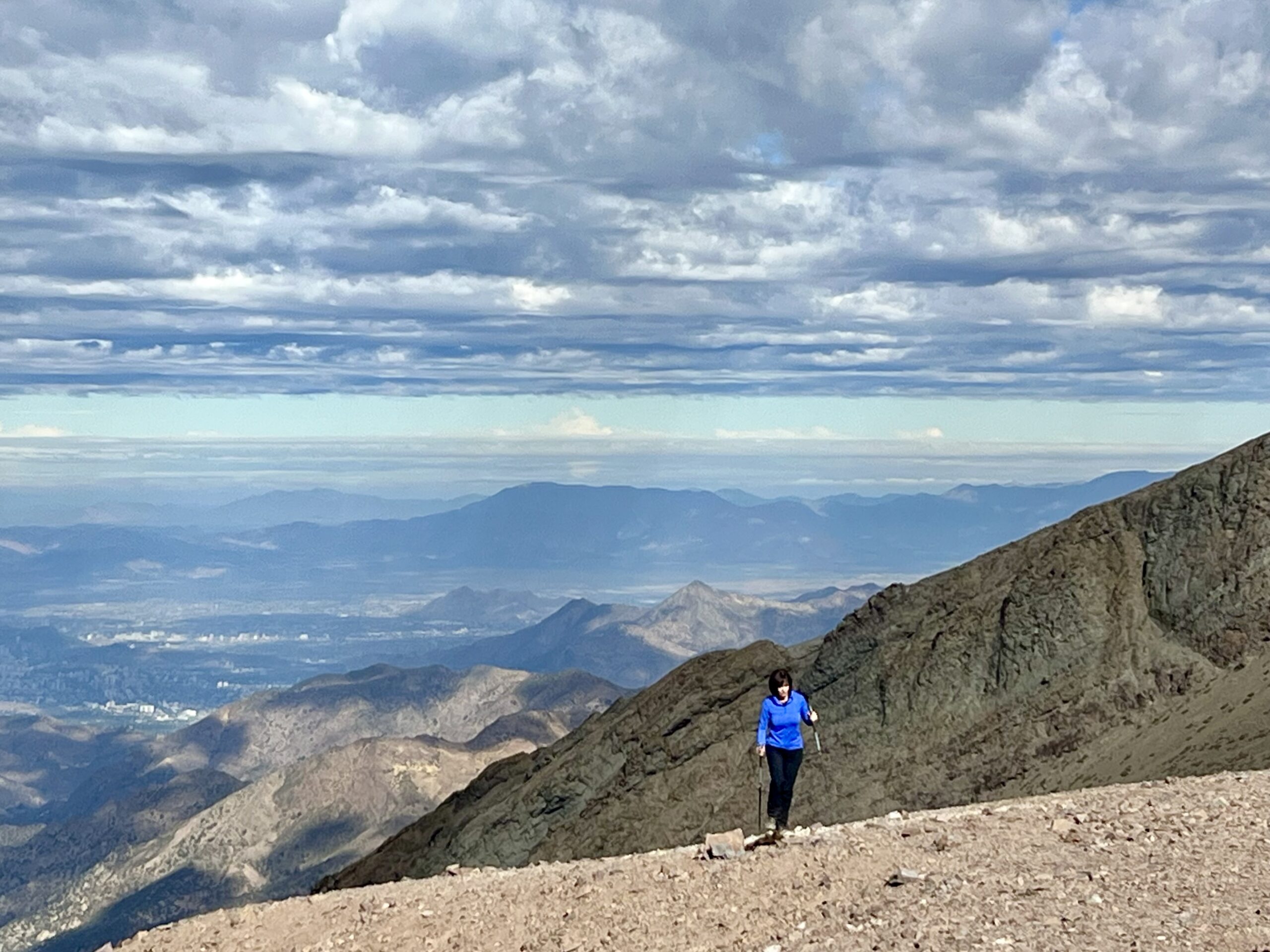
4El Pintor (1 day) — 1 h. A summit above 4,000 m, starting from the La Parva ski area, with wide views over the high Andes. For fit hikers, best once you have adjusted to altitude.
Cajón del Maipo — 1 to 2 h
The Maipo River canyon leads deep into the Andes, with small villages, vineyards and rivers along the way.
5Cuevas del Manzano (1 day) — 1 h. A hike up the El Manzano valley, at the mouth of the canyon, to a set of rock caves in the foothills.
6El Morado Hanging Glacier (1 day) — 2 h. A walk to a hanging glacier beneath purple-hued peaks. The ideal first full day after your flight.
The Aconcagua valley — 2 h
7Juncal Andean Park (1 day) — 2 h. A remote high valley that ends at the Juncal Glacier.
Before or after Patagonia

How many days to add
Two days? Give one to the city and one to the mountains. Spend the first walking Santiago’s neighborhoods, museums and markets at your own pace while your body adjusts to the time zone. Then save the second for a full day in the Andes.
| Days in Santiago | Suggested plan |
|---|---|
| Half a day | Cerro Manquehue, on the afternoon you land or the day before you fly south |
| 1 | El Juncal or Provincia |
| 2 | A day in the city + Juncal, Morado Hanging Glacier or El Pintor |
| 3 | A day in the city + La Paloma (2 days), or a day in the city +El Juncal + El Pintor |
| 5 or more | Condor Circuit Trek |
Best season
The good news: the two seasons overlap almost exactly. Patagonia’s hiking season runs from about October to April, and the high Andes near Santiago are at their best from November to April, once snow clears from the trails.
- Spring (October to November): wildflowers in the foothills and snow still on the peaks.
- Summer (December to February): the high valleys are fully open. Santiago gets hot, so we start early.
- Autumn (March to April): clear skies, cooler days and fewer people on the trails.
From May to September, snow closes most high Andean routes. Cerro Manquehue stays open all year, and Cerro Provincia can often be climbed in winter too, depending on how much snow has fallen.
Practical notes
Flights south. Most international flights to Chile land in Santiago. From there, the flight to Punta Arenas takes about three and a half hours. In high season, there are also direct flights to Puerto Natales, the gateway to Torres del Paine.
Your luggage. You won’t need your big bag on the trail. Most Santiago hotels will store it for free while you hike, so you can head out with just a daypack and pick everything up before flying south.
Altitude. On the high Andean routes, trailheads sit between about 1,800 m and 3,000 m, and El Pintor tops 4,000 m. After a long flight, keep your first day relaxed and drink plenty of water.
Plan your Santiago days
Tell us your Patagonia dates and how many days you have in Santiago. We will suggest the route that fits your arrival, your legs and the season,.
Plan your Santiago days →